




 Share
Share







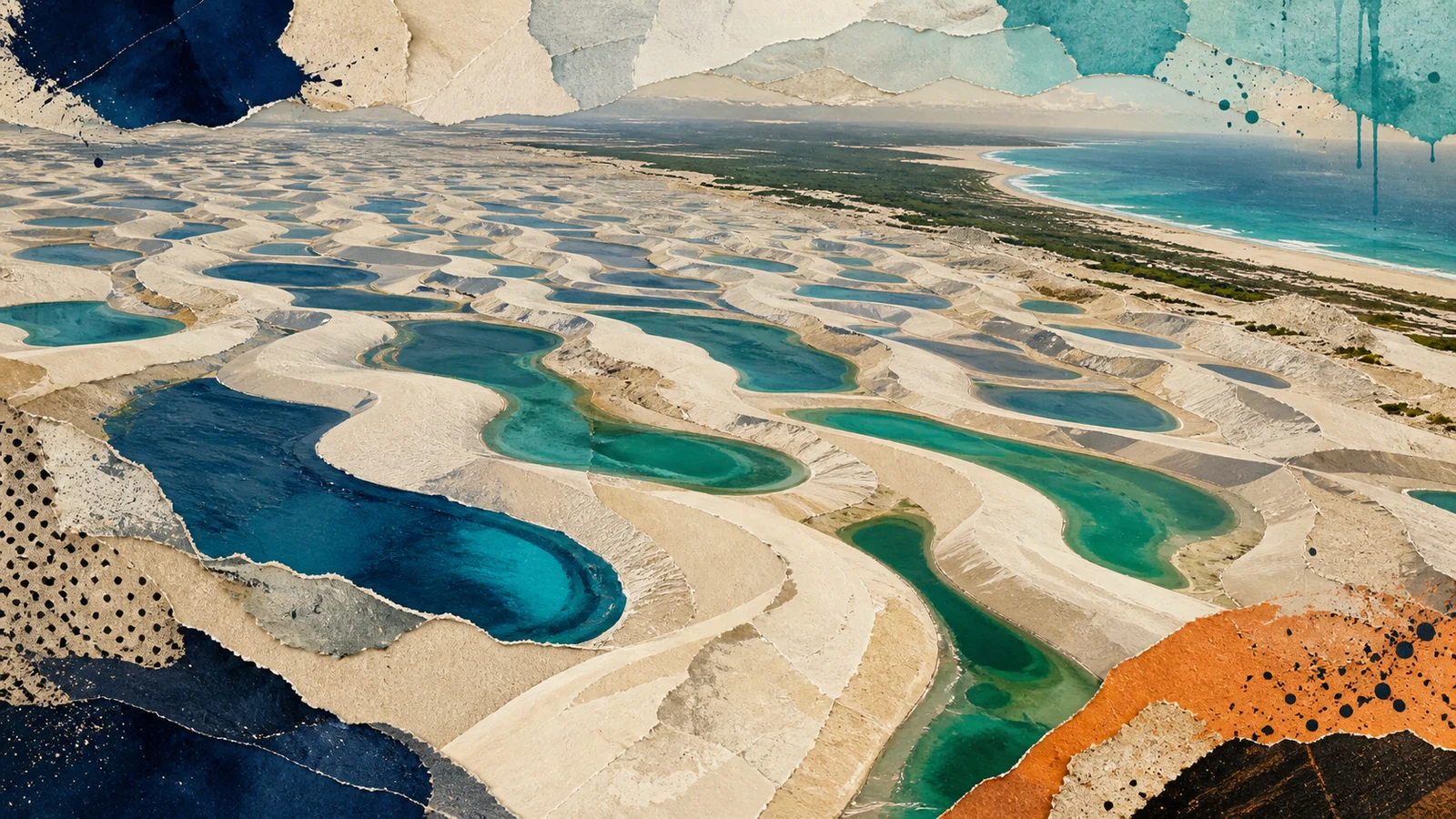
From above, Lençóis Maranhenses can resemble an immense sheet of white fabric rumpled by wind. Long sand ridges repeat toward the horizon, and in the wet season the folds hold blue, green, and dark freshwater. The visual shortcut is “desert full of lagoons.” The first surprise is that the place is not climatically a desert at all.
The national park lies on the east coast of Maranhão in northeastern Brazil. UNESCO describes it as a transition zone among three major Brazilian biomes: the Cerrado, the Caatinga, and the Amazon. Its climate is semi-humid, with a rainy season that supplies large volumes of water. The dune field looks arid; the annual water cycle says otherwise.
Rain creates the famous contrast. Water falling across the porous-looking sand raises the local water table and collects in low areas between dunes. Those interdunal depressions become freshwater lagoons. Some are temporary and some are permanent, but the seasonal filling produces the park's most expansive mosaic, with pools varying in color, shape, size, and depth.
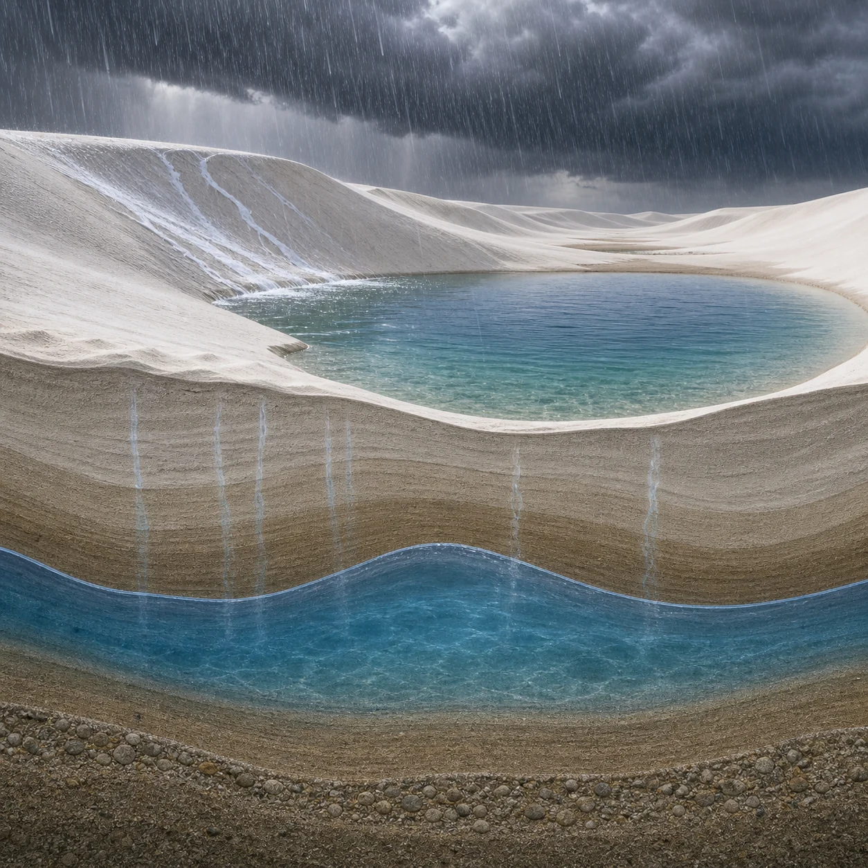
The water is not seawater overtopping the dunes. It is rain-fed freshwater held between coastal landforms. That distinction connects the lagoons to the rainy season and to groundwater conditions beneath the sand. The ocean helps define the coastal setting and supplies sediments over geological time, but the vivid pools appear because precipitation fills the spaces available inside the dune field.
Those spaces do not stay fixed. Prevailing winds shape long chains of crescent-like barchan dunes along roughly 80 kilometers of coastline. Sand migrates, changing the ridges and depressions that organize the surface. When a lagoon dries and another wet season arrives, water returns to a landscape whose geometry has continued moving. The pools can reappear in new outlines rather than refilling permanent bowls.
This is why a still aerial photograph gives only one state of the system. In a wet-season image, the lagoons look like thousands of blue inlays set permanently into white sand. Through time, their edges retreat, water disappears, wind moves dunes, and later rain fills a revised terrain. The landscape is less a fixed pattern than an exchange between two moving materials: sand driven sideways and water moving up and down.
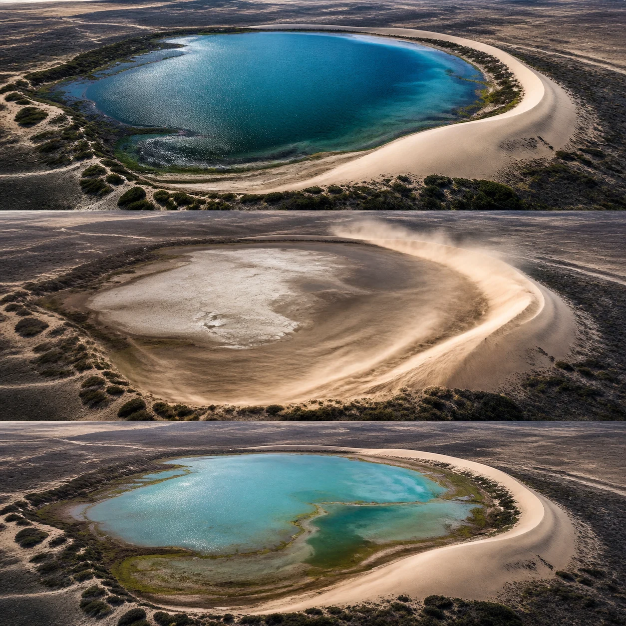
UNESCO identifies both stable and shifting dunes, the largest such expanse in South America. More than half the protected property consists of white coastal dune field with temporary and permanent lagoons. The dunes preserve evidence of coastal processes operating through the Quaternary, linking today's spectacular surface to a much longer history of marine sediment and wind action. Their continual migration also keeps reshaping the boundaries where water, bare sand, and vegetation meet.
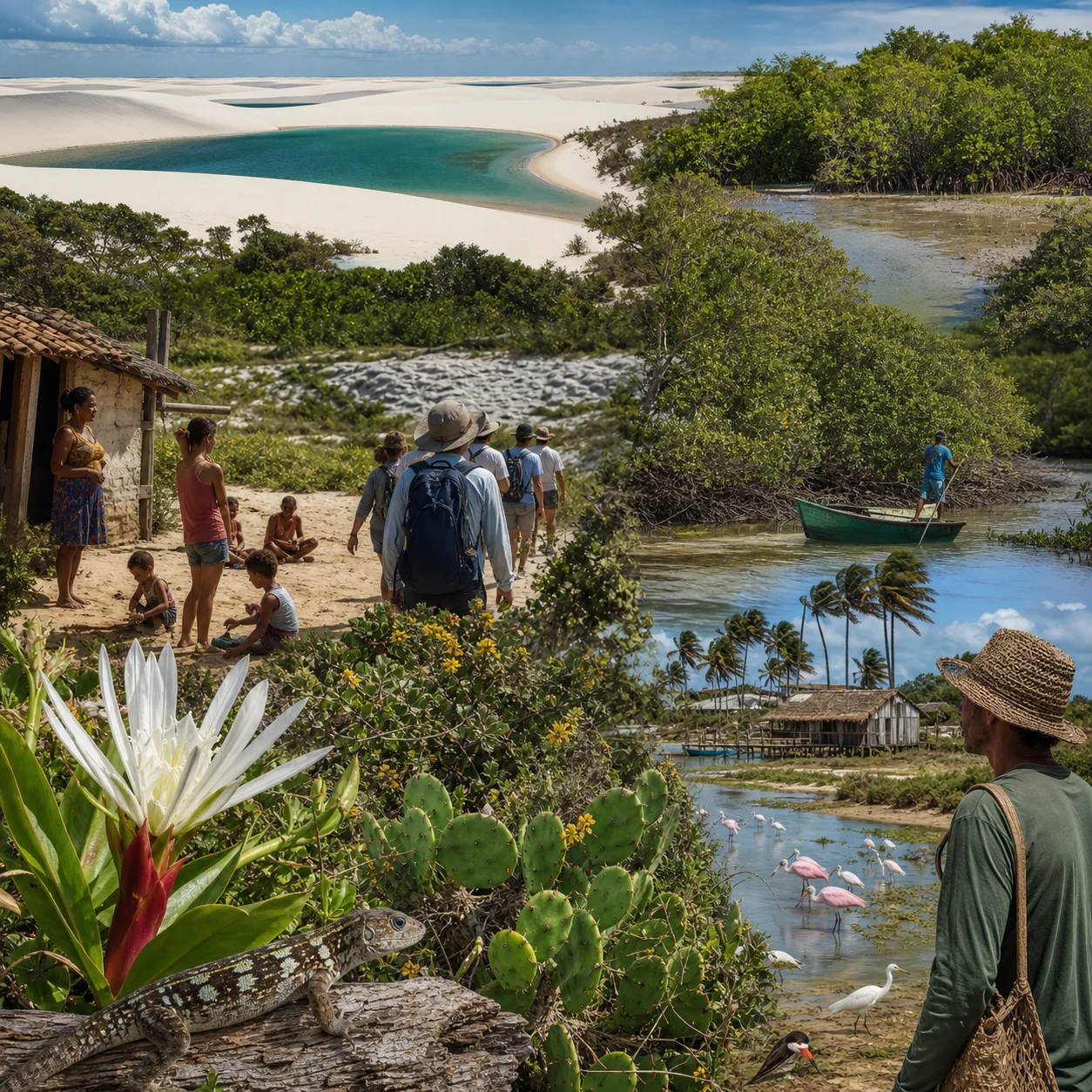
The protected area is not only sand and open water. Brazilian conservation authorities place it within a coastal-marine biome influenced by the three neighboring terrestrial biomes. Restinga vegetation, mangroves, alluvial communities, marine environments, and freshwater environments all contribute to its biodiversity. The transitions at the edge of the dune field matter as much ecologically as the clean white center attracts photographers.
People also belong in the account. Lençóis Maranhenses includes inhabited communities, and park management operates in a living region rather than an unoccupied natural stage. Describing the landscape as empty erases the human presence that shares and knows it. The temporary lagoons are natural, but the story of the protected area includes residents, visitors, guides, conservation agencies, and neighboring towns.
The lagoons' seasonality demands another piece of precision. A photograph of full pools does not promise that the same view exists year-round. Water levels follow rainfall, and temporary lagoons shrink or vanish during drier conditions. Exact timing and fullness vary. The park's visual identity is therefore a phase in a cycle, not a permanent blue grid painted onto the dunes.
Nor does disappearance make the pools unreal. Temporariness is their mechanism. A lagoon that vanishes is performing the expected dry-season half of the system. Rain stores water between dunes; evaporation and drainage remove it; wind alters the basin; later precipitation begins another version. The landscape's continuity resides in repetition of the process, not preservation of each individual water shape.
Lençóis Maranhenses earns its weirdness by reversing the assumptions carried by its appearance. White dunes suggest extreme dryness, yet the climate supplies a rainy season. Coastal sand suggests saltwater, yet rain fills freshwater pools. A sweeping landscape suggests permanence, yet wind and water redraw it. Even the word “lagoons” sounds fixed until the dunes move around them.
The best view is therefore also an explanation. The white ridges are wind-built barchans. The colored hollows are rain-fed water gathered where the current topography allows. The vanished pool is not a failed lake, and the new one is not a miracle. Together they form a coastal clock with no hands: sand moves, rain rises between it, dry weather clears the face, and the next wet season draws another map.
Sources